Services

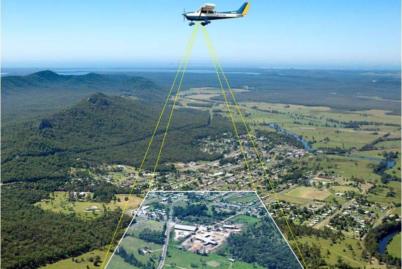
Drone mining surveying enables a professional to obtain specific Aerial data of mining sites for boosting productivity, planning, safety, inventory management, etc. In the mining industry, Drone Mining Surveys include UAVs furnished with RGB cameras to seize a site’s photographs from various perspectives. More
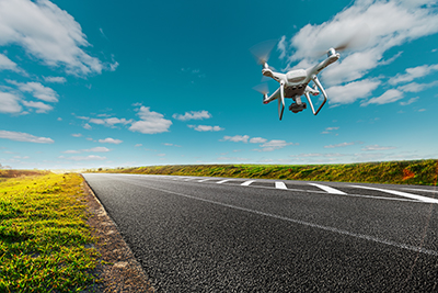
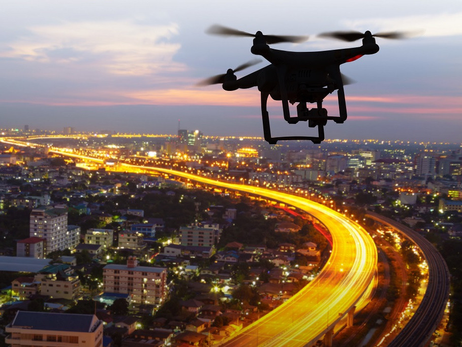
India has more than 1,15,435 km national highways. Due to increased traffic on road. The government set across an ambitious target of building 15,000 kms of roads in 2016-17, but due to traditional methods used for construction and monitoring, only 8,200 kms of roads were built. More
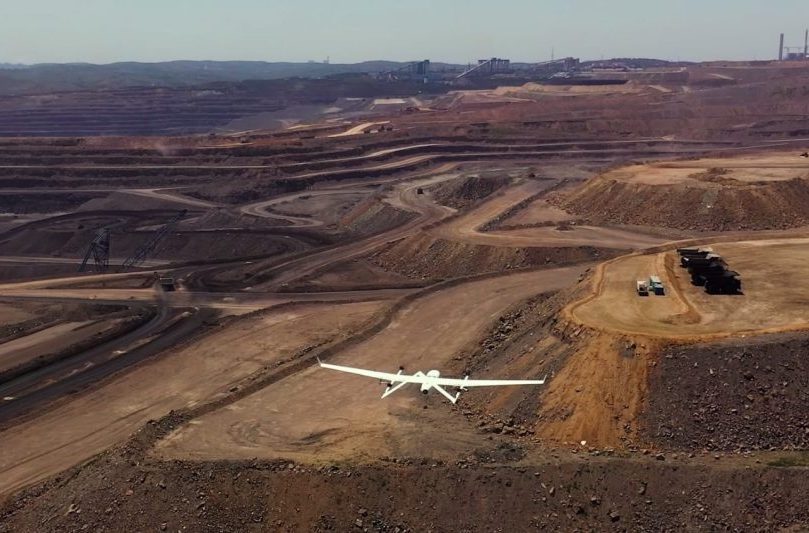
Raflytedrones in mining improve the overall efficiency of large mine site and quarry management by providing accurate and comprehensive data detailing site conditions in a very short time. Drone data provides more precise volumetric measurements than traditional surveying methods, such as ground-based. More
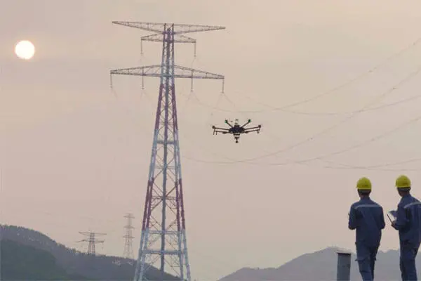
Raflytedrones enable collecting the needed data for identifying and mitigating risks in power distribution in advance. Greatly reduce man hours and costs by automating inspections, saving 30 – 50% of the cost and time when using drones to conduct power line inspection. More
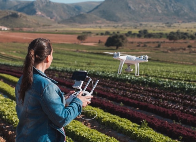
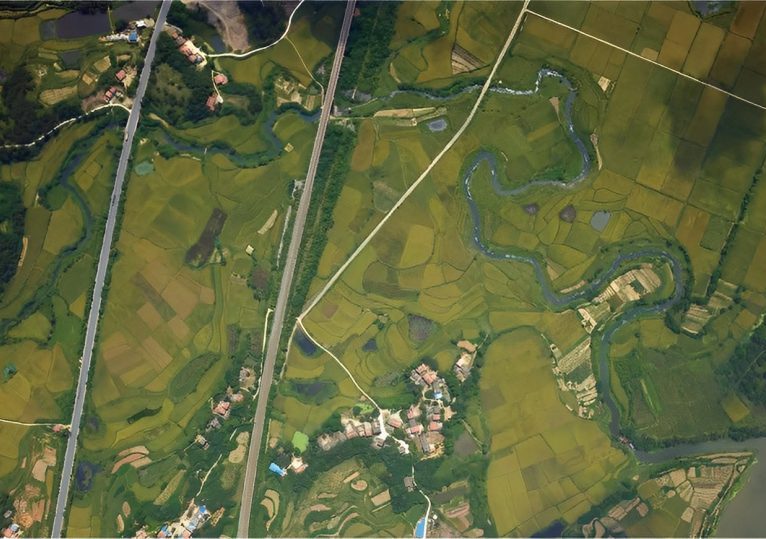
Raflyte Drones provide an immediate shot of field in fraction of time it would take to scout on foot. Cover hundreds of hectare s in a single flight, capturing that helps detect and identify differently and areas of crop stress. Raflyte Drones can help farmers calculate exact land sizes, classify types of crops and also plan their harvesting. In India, there are over 35 drone start-ups that are working to raise the technological standards and reduce the prices of agriculture drones. More
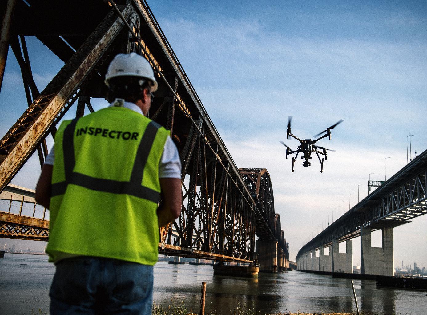
Using the data gathered with drones, in combination with corrosion assessment, contractors and inspectors can get an all-around, in-depth look at the state of bridges and concrete infrastructure. It also keeps workers out of harm’s way, amounts to considerable cost savings, and most importantly, it’s helping our state engineers, and contractors do a critical job: repairing and replacing aging infrastructure across the country. More
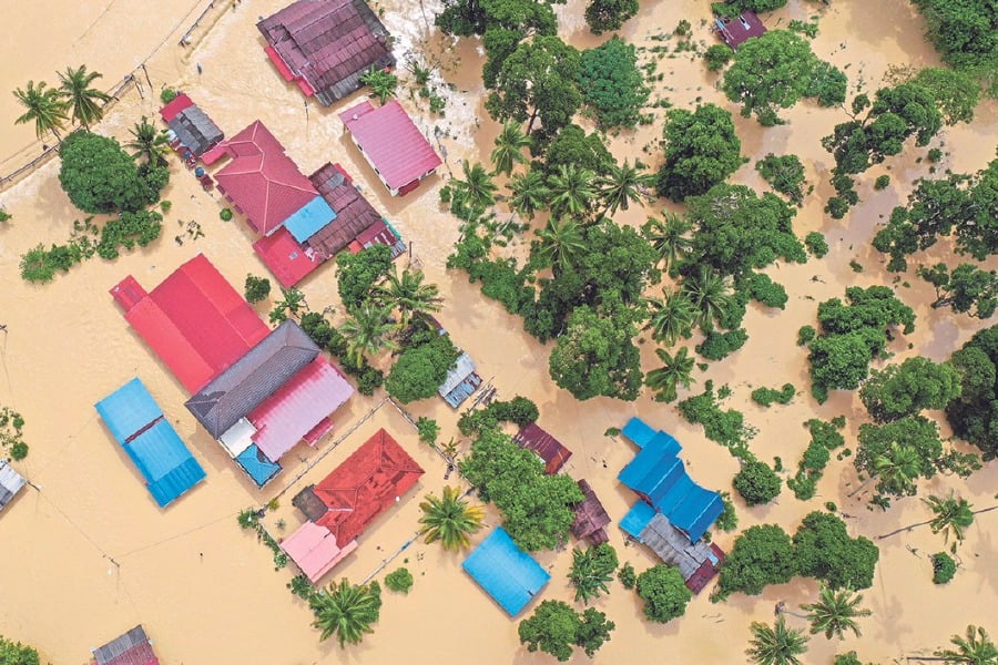
The use of Raflyte Drones to map disaster areas provides greater advantages in costs and in rapid response times when compared to traditional methods. Raflyte Drones can be deployed quickly, generate high-resolution and 3D mapping, identify hotspot areas that have sustained the most damage and upload the data in real time to coordinate relief efforts, Raflyte Drones have been worn by several aid organisations during natural disasters. More
Raflyte Drones can revolutionize the way forest and wildlife conservation research is conducted. Drones provide a bird’s-eye view of forests and wildlife and obtain information, imagery, and data that may be hard to access or expensive. Drones not only act as an alternative method for the conversationalists with added safety to observe and study subjects but also are often less costly, more efficient, and more precise than traditional approaches. More
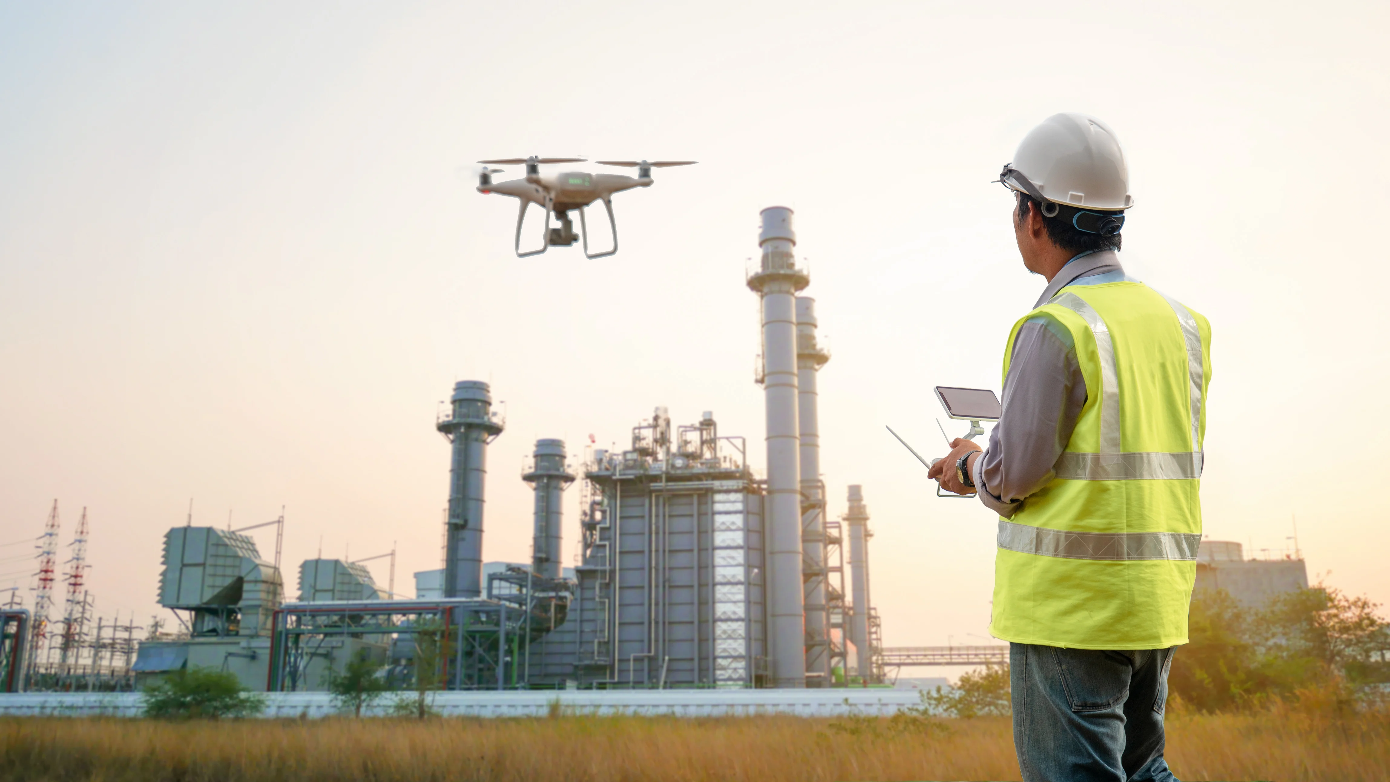
Raflyte Drones are revolutionizing the inspection industry. The impact of unmanned aerial automated drone inspections is making big waves in asset management as well as in different sectors. Industries can perform inspections from a safe distance without using expensive ladders or scaffolding gear while securing life – is a priceless win. Large areas can be covered in less time as earlier which include complicated inspections. More
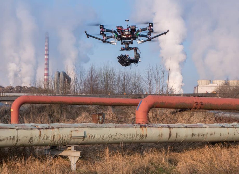
A 1% leak in a 20-inch pipeline can lead to a loss of 450,000 barrels a year and can irrevocably damage an area of up to 10 square kilometres. It is therefore essential that proper care be taken to ensure the reliability and quality of the pipelines in the field. Traditionally, several intrusive and non-intrusive techniques have been utilized that include manual inspection, acoustic resonance, ultrasound scanning, flow analysis, MFL etc. . More
Raflyte Drones are used for project progress monitoring and ensure accountability and increased efficiency. They are also used to inspect railway infrastructure such as bridges, OHE, rooftops and inaccessible railway infrastructure regularly without putting lives at risk while avoiding down-time and blocks. There is a compelling no. of ability problems possible and task of suspecting thousands of miles of track stretching across. More
The use of drones by local governments are for collecting data for monitoring rivers. Raflyte Drones have made it possible to collect detailed pictures of land and other data related to water quality, even in areas difficult to access, without acquiring high costs of manned aircraft flights.it provides invaluable aerial data to industries like 3D cities, land and resources management, agriculture and mining, forestry and environmental monitoring & research. More
Raflyte Drones have provided critical support in search and rescue operations post-natural disasters complementing search and rescue helicopters, making them an essential part of the NDRF tool box. Raflyte Drones can accurately relay real-time information which plays an important role in the civil security of cities and provides the civic administration to deploy proactive measures rather than reactive measures – such a decision-making process is a hallmark of a smart city concept. More
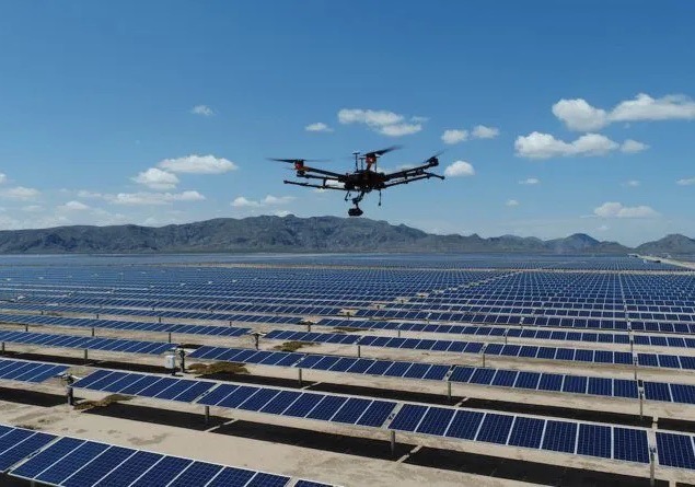
Identify the faulty Solar Panels, replace them within the warranty period, maximize efficiency, and proactively address issues, thus minimizing maintenance costs. Valuable use cases have been proven across pre-construction, commissioning, and operations & maintenance for not only the PV system itself, but also for surrounding infrastructure like utility lines, substations, and fencing. The basic objective of our Raflyte Drones is to identify the damaged solar panels so they can be restored by the manufactur More
