River Mapping and Services
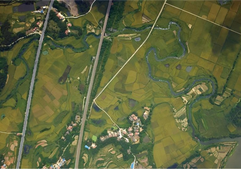
River Mapping and Services
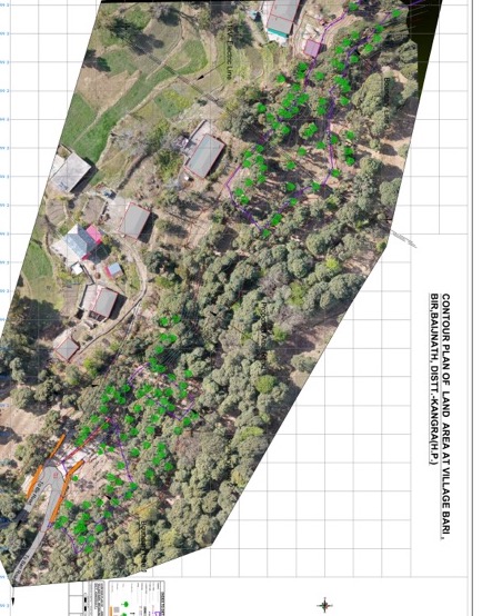
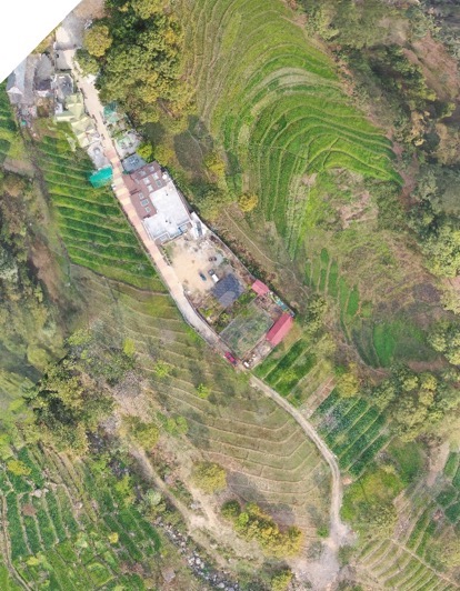
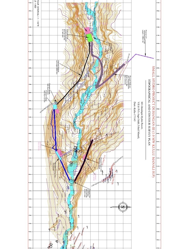
The use of drones by local governments are for collecting data for monitoring rivers. Raflyte Drones have made it possible to collect detailed pictures of land and other data related to water quality, even in areas difficult to access, without acquiring high costs of manned aircraft flights.it provides invaluable aerial data to industries like 3D cities, land and resources management, agriculture and mining, forestry and environmental monitoring & research. New technologies are revolutionizing the use of remote sensing in riverine landscapes, greatly increasing our ability to identify and address the main causes of water pollution. These causes include the impact of farming and other uses of land on the quality of river water, as well as the influence of ground and surface water inputs. Raflyte Drones have made it possible to gather detailed images of land use and other valuable data related to water quality, even in areas difficult to access, without incurring the high costs of manned aircraft flights. Drones have the unique advantage of being able to gather live data from a range of sensors, including multispectral, NIR and LIDAR sensors, providing precise indicators of water purity. The rapid and affordable collection of such extensive data can play a vital role in informing the design and implementation of water management policies. Our medium format metric cameras allow you to effortlessly execute mapping missions, capture high resolution images and create 2D and 3D maps. Invent grid offers a professional, flexible and precision driven solution that simplifies surveying and mapping processes and provide professionals with unlimited and ultimate aerial data, while saving time and reducing costs and manpower.
Highlights
Topographic surveys of the area with highly accurate measurements
Geo-referenced Orthomosaics
Digital Surface Model of the project area
3D Model of the project area
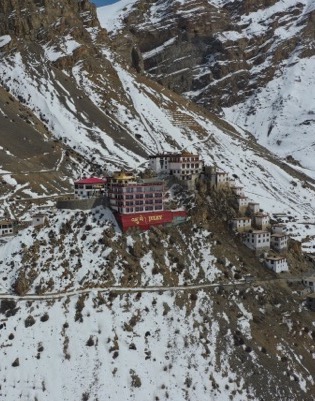
Map otherwise inaccessible areas
Actionable mapping insights in quick time
Flying at a lower altitude generating high-res & highly accurate data
Slope Monitoring for landslide mitigation & prevention
Absolute accuracy down to 1 Mts and 0.7cm/px under optimal conditions
Book Now