Disaster Management
Disaster Management
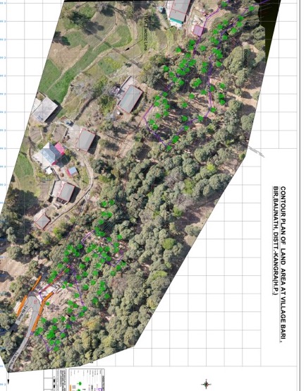
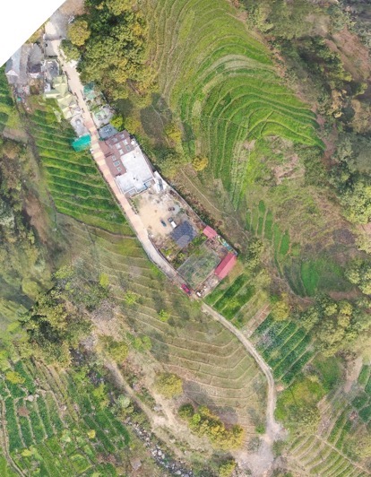
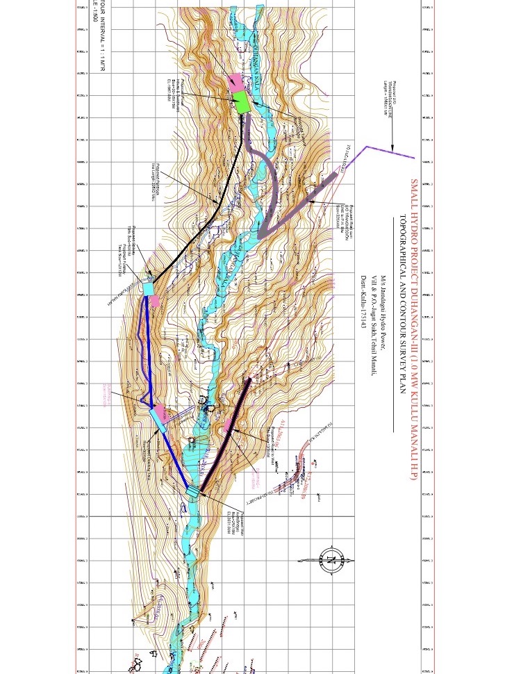
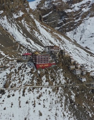
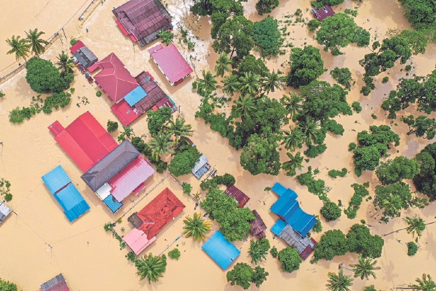
The use of Raflyte Drones to map disaster areas provides greater advantages in costs and in rapid response times when compared to traditional methods. Raflyte Drones can be deployed quickly, generate high-resolution and 3D mapping, identify hotspot areas that have sustained the most damage and upload the data in real time to coordinate relief efforts, Raflyte Drones have been worn by several aid organisations during natural disasters. In India, the National Disaster Management Authority, a culmination body for disaster management, used drones for the first time during the Uttarakhand floods in 2013. Responders use drones during the disasters to: Provide rapid situational awareness with mapping technology and imagery, help firefighters identify hot spots and assess property damage, Capture imagery for communications and news coverage, Search for survivors, assess utility and infrastructure damage, Create before/after maps of the impacted area. Though drone usage is mainly used in disaster response currently, a new report highlights the benefits of using drones in disasters through all four stages of the disaster life cycle: prevention, preparation, response and recovery
Highlights
Superior endurance & high-functioning drones for real-time information of the on-ground situation
Rapid Assessment of the damaged infrastructures
Smart Visual Analysis
Live drone-enabled video survey to pre-empt any possible dangers
Planning rescue routes for stranded victims
Book Now